
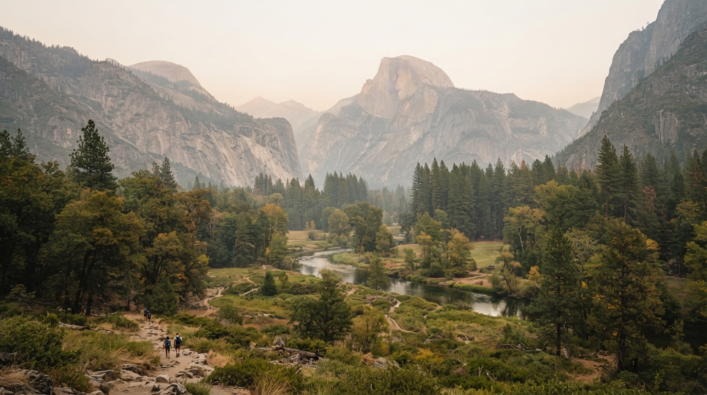
The Yosemite Dome Fire has become an important travel and public-safety story for anyone planning a late-September 2026 visit to Yosemite National Park. The fire was first reported on September 15 near the Chilnualna Falls area, and National Park Service updates have documented changing fire activity, trail closures, smoke, and temporary access restrictions as crews work in steep terrain.
Yosemite has remained open during the incident, but that does not mean every road, trail, or viewpoint will always be available. Wildfire conditions can change quickly. Smoke may also affect visibility and air quality far beyond the immediate fire perimeter. Visitors should therefore build flexibility into their plans and check official information shortly before entering the park.
This guide explains what travelers should know about the Yosemite Dome Fire, how closures can affect a trip, and which official updates to check before leaving. For more California trip-planning coverage, see CaliBrief’s Travel section, Public Safety coverage, and California Guides.
What the Dome Fire Means for a Yosemite Trip Right Now
In its September 23 update, the National Park Service reported that the Dome Fire had reached 3,795 acres and was 15% contained, with 840 personnel assigned. At that time, there were no evacuation orders or warnings and no immediate threats to developed areas or infrastructure. However, several trails and areas were closed as firefighters worked to contain the fire.
The key point for travelers is that “Yosemite is open” and “all of Yosemite is open” are not the same thing. A large national park can continue operating while certain roads, trail systems, parking areas, or backcountry zones are restricted. That is why a visitor should check both the park’s general current-conditions page and any incident-specific closure notices.
Yosemite remains open, but some areas can close quickly
Recent National Park Service updates have listed closures around the Chilnualna Falls area, routes toward Buena Vista and Crescent Lakes, the Ostrander Trail area, and other zones south of the fire. These restrictions are designed to keep the public away from hazards while giving firefighters room to operate.
Wildfire closure areas are not based only on visible flames. The National Park Service has warned about falling limbs, fire-damaged trees, burning logs, stump holes, hot ash, smoke, and poor visibility. A trail that appears calm from a distance can still contain hazards that are difficult for visitors to recognize.
Check trail and road status before driving in
Road access can also change with little notice. On September 23, Yosemite announced a temporary closure of Glacier Point Road because smoke reduced visibility and firefighters needed safe access for operations. The park noted that the closure was not intended to be season-ending and that the road would reopen when conditions allowed.
That example shows why travelers should not rely on a screenshot or trip-planning post saved several days earlier. A road listed as closed yesterday may reopen, while a different area may become restricted today. Before leaving your hotel or starting a long drive, check the park’s current conditions and road status. If you are already in Yosemite, follow signs, ranger instructions, and posted closure notices.
Smoke can change the experience even outside closure zones
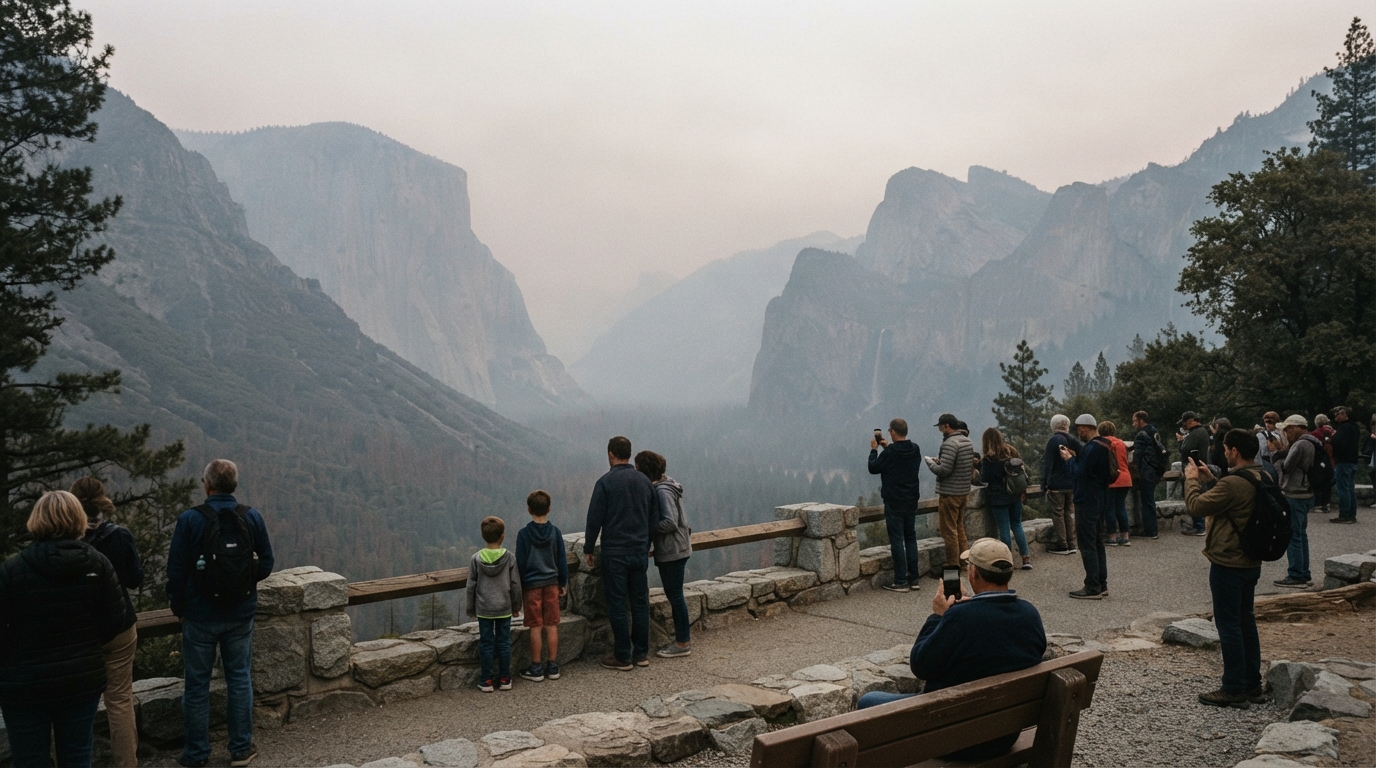
Smoke is one of the biggest reasons a wildfire can affect visitors who are nowhere near the fireline. It can reduce views, create haze in Yosemite Valley, and worsen air quality for people who are sensitive to smoke. Conditions can also vary by elevation, wind direction, and time of day.
During the Dome Fire, National Park Service updates have directed visitors to official air-quality resources because smoke conditions have changed from place to place. A clear morning in one section of the park does not guarantee clear conditions everywhere else. Travelers with respiratory concerns, children, or older adults should pay special attention to current air-quality information.
How wildfire conditions affect routes and activities
A Yosemite itinerary often depends on several locations that are far apart. Visitors may plan Yosemite Valley, Glacier Point, Wawona, Mariposa Grove, Tuolumne Meadows, or backcountry hikes on the same trip. A wildfire may affect only one portion of that plan, yet the impact can still be significant if your main route or destination is inside a closure area.
Instead of canceling automatically, first identify which places are affected. If your planned trail is closed, choose an alternative in an open area. If smoke is heavier in the morning, consider indoor visitor facilities or a lower-intensity activity until conditions improve. A road closes, recalculate travel time before committing to another route.
Build a flexible Yosemite itinerary
A good wildfire-season itinerary should have a primary plan and at least one backup. For example, if a high-country viewpoint becomes inaccessible, you might shift to a valley walk, an open scenic route, or a visitor center. If smoke is concentrated in one area, another section of the park may have better visibility.
Flexibility also means avoiding overly tight reservations and drive schedules. Yosemite is already a large park, and detours can add significant time. During an active incident, emergency vehicles and firefighting operations may also affect traffic patterns. Give yourself extra time and avoid stopping where you could interfere with crews.
How to Plan a Safer, More Flexible Yosemite Visit During Fire Season
Wildfire season does not automatically make a Yosemite trip unsafe, but it does make current information more important. The best decisions are based on official updates rather than assumptions. Conditions can shift with wind, humidity, fire behavior, and firefighting progress.
Start by checking whether the park is open and whether your entrance route is operating normally. Then check the exact trail, road, or destination you plan to use. Finally, review air quality. These three checks answer different questions: whether you can enter, whether you can reach your planned activity, and whether smoke may affect comfort or health.
What to check before leaving for the park
Review your route on the morning of travel, especially if you are driving from Fresno, Merced, the Bay Area, or another destination several hours away. Yosemite’s main entrances may be open even when an interior road or recreation area is restricted. Fuel up before entering remote sections, keep water in the vehicle, and download essential maps in case mobile service becomes unreliable.
Pack for changing conditions as well. Late September can bring cool mornings and warmer afternoons. Smoke may lead you to shorten a hike, and an unexpected closure may move your day to a different elevation. Layers, water, food, sun protection, and a basic first-aid kit make it easier to adjust without turning a minor change into a stressful situation.
Know where to find official updates
The National Park Service Yosemite current conditions page should be your primary source for park access, closures, and safety notices. Official incident pages and government air-quality tools can provide additional information about fire behavior and smoke. Check them again if conditions look different after you arrive.
Social media can be useful for seeing what other visitors are experiencing, but it should not replace official information. A photo may be hours old, taken in a different part of the park, or posted without context. A viral image of smoke can make conditions look worse everywhere, while a clear photo can hide serious closures elsewhere.
If smoke becomes heavy, visibility drops, or you receive an emergency alert, change your plan. Never enter a closed area to reach a viewpoint or trail. Closures protect both visitors and firefighters, and entering a restricted area can expose you to hazards that are not obvious from a road or parking lot.
Travelers can also use CaliBrief’s California Statistics and Explainers pages for broader context about wildfire, transportation, and public-safety topics. Those resources are useful when you want to understand the bigger picture behind a short-term closure or travel warning.
The best approach to Yosemite during an active wildfire is simple: stay informed, stay flexible, and use official information. The Dome Fire has shown how quickly trail access, smoke, and road conditions can change even while most of the park remains open. A few minutes of checking before you leave can save hours of frustration and help you choose a safer, more enjoyable plan.